- March 16, 2025
- Posted by: Adrian Monreal
- Category: Commercial Insurance, Fire Insurance
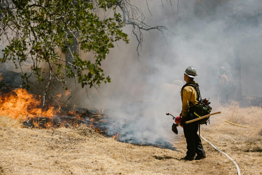
Wildfires are becoming an increasingly serious threat in many parts of the United States, particularly in states like California, Texas, and Arizona. As climate change intensifies, the frequency and severity of wildfires continue to rise. One crucial tool for assessing and mitigating wildfire risk is the concept of Fire Hazard Severity Zones (FHSZ). These zones help identify areas at risk and guide homeowners, businesses, and policymakers in taking necessary precautions.
What Are Fire Hazard Severity Zones?
Fire Hazard Severity Zones are geographic areas classified by government agencies, such as CAL FIRE (California Department of Forestry and Fire Protection), based on their susceptibility to wildfires. These zones are categorized into three levels:
- Moderate: Areas with some fire risk but generally lower vegetation density and fewer ignition sources.
- High: Regions where wildfires are more frequent due to dry conditions, terrain, and wind patterns.
- Very High: The most vulnerable areas, often characterized by dense vegetation, steep slopes, and strong winds that can rapidly spread fires.
These classifications are essential for urban planning, construction regulations, and insurance considerations. The mapping of these zones considers multiple factors, including historical fire data, topography, and climate conditions.
The Growing Threat of Wildfires
Over the past two decades, wildfires have become increasingly destructive. According to the National Safety Council (NSC), the average annual acreage burned by wildfires in the U.S. has doubled since 2000. In California alone, more than 31 million acres are classified under Fire Hazard Severity Zones, with over 2.7 million homes located in Very High Fire Hazard Severity Zones.
The rise in wildfires is attributed to several factors:
- Climate change: Higher temperatures and prolonged droughts create drier vegetation, which acts as fuel for fires.
- Urban expansion: More people are moving into wildfire-prone areas, increasing ignition sources and exposure to risk.
- Wind patterns: Santa Ana and Diablo winds in California can spread fires rapidly, making containment difficult.
How Are Fire Zones Determined?
Fire Hazard Severity Zones are mapped using scientific models that assess the following factors:
- Vegetation type and density: Areas with thick, dry vegetation are more prone to fires.
- Historical fire data: Past wildfire occurrences help predict future risks.
- Weather conditions: Wind speeds, humidity, and temperature play significant roles in wildfire spread.
- Topography: Steep slopes accelerate fire movement, making some areas more hazardous.
These factors allow agencies like CAL FIRE to develop comprehensive fire risk maps that inform public safety policies and insurance rates.
The Role of Insurance in Fire Hazard Severity Zones
Insurance companies use Fire Hazard Severity Zones to assess risks and determine premiums. In high-risk areas, homeowners and businesses often face:
- Higher insurance premiums: Policies in wildfire-prone areas can cost up to 300% more due to increased risk.
- Limited coverage availability: Some insurers refuse to cover properties in Very High Fire Hazard Severity Zones, requiring residents to seek state-backed plans like California FAIR Plan.
- Stricter policy requirements: Insurance providers may mandate fire-resistant building materials, defensible space maintenance, and other mitigation efforts before issuing coverage.
How to Protect Your Property
For those living in Fire Hazard Severity Zones, proactive measures can help reduce risk and improve insurability:
- Defensible space: Maintain a 100-ft cleared area around your home by removing dead vegetation and flammable materials.
- Fire-resistant construction: Use materials like Class A roofing, tempered glass windows, and non-combustible siding.
- Emergency preparedness: Have an evacuation plan, fire-resistant landscaping, and easily accessible firefighting tools like hoses and extinguishers.
- Community involvement: Participate in local fire safety programs and stay informed about evacuation procedures.
Conclusion
Understanding Fire Hazard Severity Zones is crucial for homeowners, businesses, and policymakers. With wildfires on the rise, being aware of your property’s fire risk and taking preventive measures can make all the difference. Whether it’s choosing fire-resistant materials, maintaining defensible space, or securing the right insurance coverage, preparation is key to minimizing wildfire impact.
For more information, text or call Monreal Insurance Solutions at (909) 757-1311 or click the link in the bio for a quote.
